Earthquakes
-
Kyoshin Network (K-NET)
K-NET is a network of strong-motion seismographs installed at approximately 1000 locations nationwide. K-NET is capable of recording strong and destructive seismic motions.
Kyoshin Network (K-NET)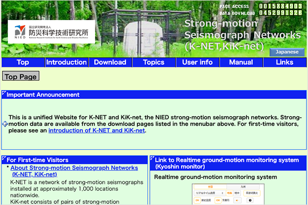
-
Kiban Kyoshin Network (KiK-net)
KiK-net is composed of pair of strong-motion seismographs installed at Hi-net observation sites on and under the ground. Seismic data is open to the public.
Kiban Kyoshin Network (KiK-net)
-
Japan Seismic Hazard Information Station
Various maps of the National Seismic Hazard Maps for Japan and the downloading of numerical data is available.
Japan Seismic Hazard Information Station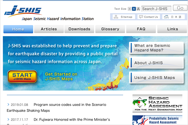
-
500m Mesh Engineering Geomorphologic Classification Map
Database of site amplification factors based on the geomorphological land classifications per 500m mesh of Japan land.
500m Mesh Engineering Geomorphologic Classification Map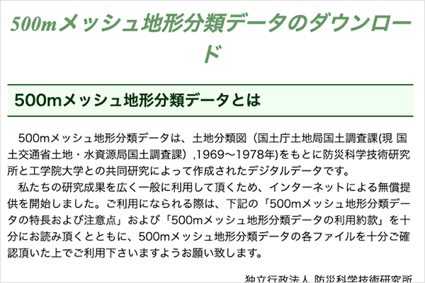
-
Hosted by Strong-Motion Earthquake Observation Counsil
Annual report and news of earthquakes, for seismic intensities over 5 are available.
Hosted by Strong-Motion Earthquake Observation Counsil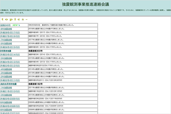
-
General Catalog of Data Collected on the Matsushiro Earthquake Swarm
Materials list at the Matsushiro earthquake center is open to the public.
-
High Sensitivity Seismograph Network Japan (Hi-net)
Hi-net is an observation network composed of high-sensitivity seismographs deployed at approximately 800 locations nationwide. The sensor is installed at the base of the borehole deeper than 100m. Hi-net is capable of detecting seismic motions that are too weak to be felt by people.
High Sensitivity Seismograph Network Japan (Hi-net)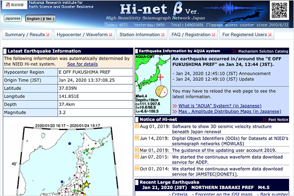
-
Full Range Seismograph Network of Japan (F-net)
F-net is an observation network composed of high-sensitivity seismographs deployed at approximately 70 locations nationwide. F-net is capable of accurately detecting slow ground motions originating from remote seismic sources.
Full Range Seismograph Network of Japan (F-net)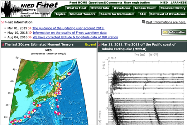
-
International Seismic Network
The seismograph network system over the Asian-Pacific area.
-
250m Mesh Engineering Geomorphologic Classification Map in Niigata area
Geomorphologic database per 250m mesh and 24 types in Niigata and the neighboring areas.
-
Earthquake Information in the Kanto-Tokai district, Japan
Data of hypocenters and focal mechanisms from July 1979 to July 2003 are available, which were provided by the former research project "Research Project for the Crustal Activity in The Kanto-Tokai District".